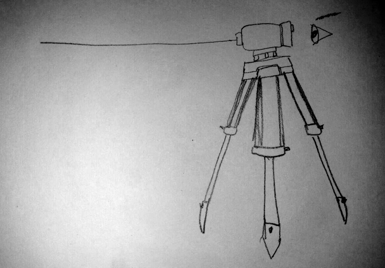
Tag: total station

Total Open Station is an open source program to download and process data from total stations.

  • A new home for the Total Open Station project

    As announced in a previous blog post, the Total Open Station project has a new home!

    More specifically, we’re still on GitHub but I have moved the main repository from my personal GitHub account to the “totalopenstation” organization, with myself and @psolyca as owners.

    This seems like a simple step but, in fact, it is the most important improvement that Total Open Station has ever got. It means that what has been a personal project for 12 years is now a collective effort, with a bus factor of 2.

    Before this change, we put a lot of effort to define how the new project will work, with a detailed CONTRIBUTING document (partly inspired by the great example of the Gitea project) and a Code of Conduct (based on the Contributor Covenant). To ensure code quality, all changes must be approved through a review process before being merged into the master branch. This is enforced for all contributors, myself included! There is a process in place to expand the team with new contributors on any part of the application, including code, data samples and design.

    We also gave official status to our Matrix chat room at https://matrix.to/#/#totalopenstation:matrix.org so if you’re looking for casual tips or questions, please drop us a message there!

    We are now looking forward to sharing the next release with all our users and with this in mind we introduced another important change: sponsorship. You can now support our work with a recurring donation, either via GitHub sponsors or Liberapay. Since the project is run as a volunteer effort, sponsorships will help us cover the cost of operating websites, testing hardware devices, and eventually buy a dedicated domain name.

    If you use Total Open Station please let us know and maybe give us a star ★ on GitHub.

    This post was originally published on the Total Open Station project blog.

  • Total Open Station 0.5

    Total Open Station 0.5

    Total Open Station 0.5 is here!

    This release is the result of a short and intense development cycle.

    The application is now based on Python 3, which means an improved handling of data transfers and a general improvement of the underlying source code.

    An extensive test suite based on pytest was added to help developers work with more confidence and the documentation was reorganized to be more readable.

    There are only minor changes for users but this release includes a large number of bugfixes and improvements in the processing of data formats like Leica GSI, Carlson RW5 and Nikon RAW.

    The command line program totalopenstation-cli-parser has four new options:

    • --2d will drop Z coordinates so the resulting output only contains X and Y coordinates
    • --raw will include all available data in the CSV output for further processing
    • --log and --logtofile allow the logging of application output for debugging

    If you were using a previous version of the program you can:

    • wait for your Linux distribution to upgrade
    • install with pip install --upgrade totalopenstation if you know your way around the command line on Linux or MacOS
    • download the Windows portable app from the release page: this release is the first to support the Windows portable app from the start – for the moment this release supports 64-bit operating systems but we are working to add a version for older 32-bit systems.

    But there’s more. This release marks a renewed development process and the full onboarding of @psolyca in the team. With the 0.6 release we are planning to move the repository from the personal “steko” account to an organization account and improve the contribution guidelines so that the future of Total Open Station is not dependent on a single person. Of course we have already great plans for new features, as always listed on our issue tracker.

    If you use Total Open Station please let us know and maybe give us a star ★ on GitHub.

  • Total Open Station 0.4 release

    Total Open Station 0.4 release

    This article was originally published on the Total Open Station website at https://tops.iosa.it/

    After two years of slow development, I took the opportunity of some days off to finally release version 0.4, that was already available in beta since 2017.

    No open bugs were left and this release is mature enough to hit the repositories.

    Find it on PyPI at https://pypi.python.org/pypi/totalopenstation as usual.

    Windows users, please note that the TOPS-on-a-USB-stick version will have to wait a few days more, but the beta version is equally functional.

    What’s new in Total Open Station 0.4

    The new version brings read support for 4 new formats:

    • Carlson RW5
    • Leica GSI
    • Sokkia SDR33
    • Zeiss R5

    Other input formats were improved, most notably Nikon RAW.

    DXF output was improved, even though the default template is not very useful since it is based on an old need from the time when TOPS was developed day to day on archaeological excavations.

    The work behind these new formats is in part by the new contributor to the project, Damien Gaignon (find him as @psolyca on GitHub), who submitted a lot of other code and started helping with project maintenance as well. I am very happy to have Damien onboard and since my usage of TOPS is almost at zero, it’s very likely that I will hand over the development in the near future.

    The internal data structures for handling the conversion between input and output formats are completely new, and based on the Python GeoInterface abstraction offered by the pygeoif library. This allows going beyond single points to managing lines and polygons, even though no such feature is available at the moment. If you often record linear or polygonal features that you’re manually joining in the post-processing stage, think about helping TOPS development and you could get DXF or Shapefiles with the geometries ready to use (yes, Shapefile output is on our plans, too).

    There were many bugfixes, more than 100 commits, 64 by Damien Gaignon and 52 by myself (to be honest, many of my own commits are just merges!).

    This version is the last built on Python 2, and work is already ongoing towards a new version that will be based on Python 3: a more mature codebase will mean a better program, without any visible drastic change.

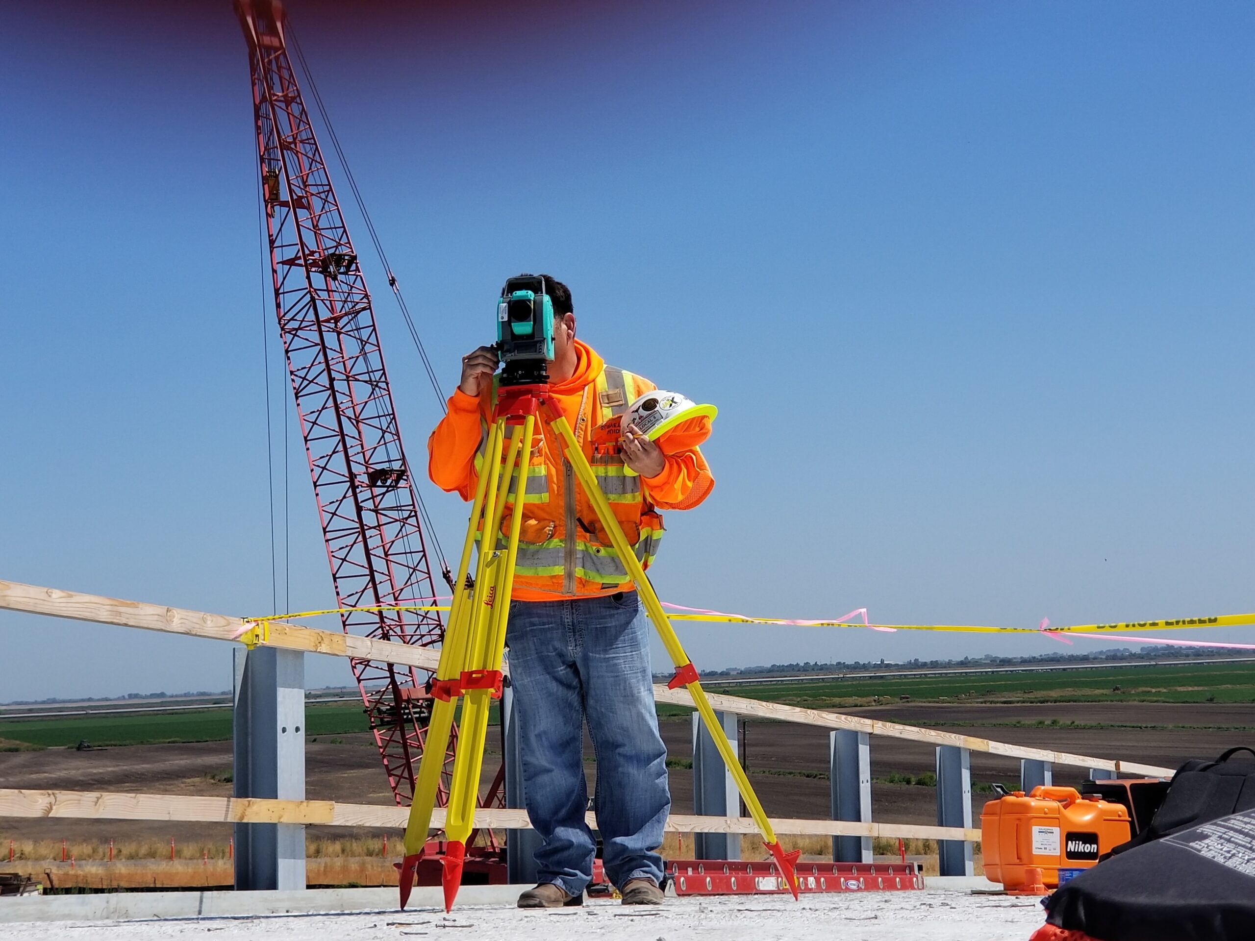
    Photo by Scott Blake on Unsplash

  • Total Open Station: a specialised format converter

    Total Open Station: a specialised format converter

    It’s 2017 and nine years ago I started writing a set of Python scripts that would become Total Open Station, a humble GPL-licensed tool to download and process data from total station devices. I started from scratch, using the Python standard library and pySerial as best as I could, to create a small but complete program. Under the hood, I’ve been “religiously” following the UNIX philosophy of one tool that does one thing well and that is embodied by the two command line programs that perform the separate steps of:

    1. downloading data via a serial connection
    2. converting the raw data to formats that can be used in GIS or CAD environments

    And despite starting as an itch to scratch, I also wanted TOPS to be used by others, to provide something that was absent from the free software world at the time, and that is still unchallenged in that respect. So a basic and ugly graphical interface was created, too. That gives a more streamlined view of the work, and largely increases the number of potential users. Furthermore, TOPS can run not just on Debian, Ubuntu or Fedora, but also on macOS and Windows and it is well known that users of the latter operating systems don’t like too much working from a terminal.

    Development has always been slow. After 2011 I had only occasional use for the software myself, no access to a real total station, so my interest shifted towards giving a good architecture to the program and extending the number of formats that can be imported and exported. In the process, this entailed rewriting the internal data structures to allow for more flexibility, such as differentiating between point, line and polygon geometries.

    Today, I still find GUI programming out of my league and interests. If I’m going to continue developing TOPS it’s for the satisfaction of crafting a good piece of software, learning new techniques in Python or maybe rewriting entirely in a different programming language. It’s clear that the core feature of TOPS is not being a workstation for survey professionals (since it cannot compete with the existing market of proprietary solutions that come attached to most devices), but rather becoming a polyglot converter, capable of handling dozens of raw data formats and flexibly exporting to good standard formats. Flexibly exporting means that TOPS should have features to filter data, to reproject data based on fixed base points with known coordinates, to create separate output files or layers and so on. Basically, to adapt to many more needs than it does now. From a software perspective, there are a few notable examples that I’ve been looking at for a long time: Sphinx, GPSBabel and Pandoc.

    Sphinx is a documentation generator written in Python, the same language I used for TOPS. You write a light markup source, and Sphinx can convert it to several formats like HTML, ePub, LaTeX (and PDF), groff. You can write short manuals, like the one I wrote for TOPS, or entire books. Sphinx accepts many options, mostly from a configuration file, and I took a few lines of code that I liked for handling the internal dictionary (key-value hash) of all input and output formats with conditional import of the selected module (rather than importing all modules that won’t be used). Sphinx is clearly excellent at what it does, even though the similarities with TOPS are not many. After all, TOPS has to deal with many undocumented raw formats while Sphinx has the advantage of only one standard format. Sphinx was originally written by Georg Brandl, one of the best Python developers and a contributor to the standard library, in a highly elegant object-oriented architecture that I’m not able to replicate.

    GPSBabel is a venerable and excellent program for GPS data conversion and transfer. It handles dozens of formats in read/write mode and each format has “suboptions” that are specific to it. GPSBabel has also advanced filtering capabilities, it can merge multiple input files and since a few years there is a minimal graphical interface. Furthermore, GPSBabel is integrated in GIS programs like QGIS and can work in a variety of ways thanks to its programmable command line interface. A strong difference with TOPS is that many of the GPS data formats are binary, and that the basic data structures of waypoints, tracks and routes is essentially the same (contrast that with the monster LandXML specification, or the dozens of possible combinations in a Leica GSI file). GPSBabel is written in portable C++, that I can barely read, so anything other than inspiration for the user interface is out of question.

    Pandoc is a universal document converter that reads many markup document formats and can convert to a greater number of formats including PDF (via LaTeX), docx, OpenDocument. The baseline format for Pandoc is an enriched Markdown. There are two very interesting features of Pandoc as a source of inspiration for a converter: the internal data representation and the Haskell programming language. The internal representation of the document in Pandoc is an abstract syntax tree that is not necessarily as expressive as the source format (think of all the typography and formatting in a printed document) but it can be serialised to/from JSON and allows filters to work regardless of the input or output format. Haskell is a functional language that I have never programmed, although it lends to creating complex and efficient programs that are easily extended. Pandoc works from the command line and has a myriad of options – it’s also rather common to invoke it from Makefiles or short scripts since one tends to work iteratively on a document. I could see a future version of TOPS being rewritten in Haskell.

    Scriptability and mode of use seem both important concepts to keep in mind for a data converter. For total stations, a common workflow is to download raw data, archive the original files and then convert to another format (or even insert directly into a spatial database). With the two programs totalopenstation-cli-connector and totalopenstation-cli-parser such tasks are easily automated in a single master script (or batch procedure) using a timestamp as identifier for the job and the archived files. This means that once the right parameters for your needs are found, downloading, archiving and loading survey data in your working environment is a matter of seconds, with no point-and-click, no icons, no mistakes. Looking at GPSBabel, I wonder whether keeping the two programs separate really makes sense from a UX perspective, as it would be more intuitive to have a single totalopenstation executable. In fact, this dual approach is a direct consequence of the small footprint of totalopenstation-cli-connector, that merely acts as a convenience layer on top of pySerial.

    It’s also important to think about maintainability of code: I have little interest in developing the perfect UI for TOPS, all the time spent for development is removed from my spare time (since no one is paying for TOPS) and it would be way more useful if dedicated plugins existed for popular platforms (think QGIS, gvSIG, even ArcGIS supports Python, not to mention CAD software). At this time TOPS supports ten (yes, 10) input formats out of … hundreds, I think (some of which are proprietary, binary formats). Expanding the list of supported formats is the single aim that I see as reasonable and worth of being pursued.
  • Total Open Station packaged for OpenSUSE

    Thanks to Angelos Tzotzos (Remote Sensing Laboratory, National Technical University of Athens) Total Open Station has an installable package for OpenSUSE, since a few weeks. Installing is as easy as:

    $ sudo zypper ar http://download.opensuse.org/repositories/Application:/Geo/openSUSE_12.1/ GEO 
    $ sudo zypper refresh 
    $ sudo zypper install TotalOpenStation

    Any report about this package will be very welcome. We have already added these instructions in the website.

    A few days ago I met Angelos in Athens. He is a very active member in several OSGeo projects and even more importantly he does an incredible job at animating the small Greek OSGeo community. I hope they will grow as our Italian community did, and I think we have an obligation to help them.

  • Total Station and GNU/Linux: Zeiss Elta R55 done!

    The pySerial library is really good. Today I installed it and in half an hour I got acquainted with its class methods, even though I have little knowledge about serial ports and the like.

    With some trial and error about the connection parameters, I was even able to solve the problem with non-printable characters, tweaking the bytesize of the connection.

    Briefly, these are the steps I did in the interactive ipython console:

    1. >>> import serial
      >>> ser = serial.Serial('/dev/ttyUSB0', \
      baudrate=9600, bytesize=serial.SEVENBITS, timeout=0, \
      parity=serial.PARITY_NONE, rtscts=1)
      >>> ser.open()
    2. at this point, start the transfer from the device
    3. check that you have received some data:
      >>> ser.inWaiting()
      648L
      

      A non-zero result means that you have received something.

    4. I saved this value to use it with the read() method of the Serial class:
      >>> n = ser.inWaiting()
      >>> result = ser.read(n)
      
    5. The result object is a string, seeing its contents is as simple as:
      >>> print(result)
      0001 OR.COOR
      0002                   0S        X        0.000 Y         0.000 Z     0.000
      0003                                            Om     397.0370
      0004 POLAR
      0005 INPUT                       th       1.500 ih        0.000
      0006 INPUT                       th       0.000 ih        0.000 Z     0.000
      0007                   1         X       -0.472 Y         1.576 Z     0.004
      END
      

      As you can see, there are no errors after the END sentence, because the serial connection is handled gracefully now. The previous attempt with cat /dev/ttyUSB0 was a bit brutal…

    For now, that’s all. I go back studying and maybe also writing some Python code for this Total Station. If you have got a total station and want to contribute to this project, let me know by leaving a comment here.

  • Total stations and GNU/Linux, part 2

    In this off-line weekend, I went on investigating the output from the Zeiss Elta R55 total station.

    First of all, it turns out that the file was not binary. A simple

    $ file downloaded_data
    downloaded_data: Non-ISO extended-ASCII text

    could have revealed this simple truth. My error was due mainly to the fact that most of the content in the file was made by non-printable characters. But my guess about the lines that contained the point coordinates was right. Probably due to a wrong download procedure, there were some problems with that file. All characters with code > 128 (hex 80) had to be translated shifting their code by 128. I used this simple Python script for this task:

    >>> read_file = open("downloaded_data", 'r')
    >>> des = read_file.read()
    >>> for i in des:
    ...     if ord(i) > 127:
    ...         print chr(ord(i)-128)
    ...     else:
    ...         print chr(ord(i))
    

    Probably this could be done in a better way, but I’m no hexpert at all. And I think this can be completely avoided by downloading from the serial port with the right connection parameters. I think I’m going to use the pySerial library for this task.

    Obviously, I’m solving the problem for one model of one manufacturer, but there are many models and many brands. With my short experience, the best solution I can think of is a modular approach, with an abstract connection class that can be subclassed, with the connection parameters for each model.

    The second part of the story comes when it’s time to process the downloaded data. First of all, take a look at the clean file contents:

       0001 OR.COOR
       0002                   0S        X        0.000 Y         0.000 Z     0.000
       0003                                            Om     397.0370
       0004 POLAR
       0005 INPUT                       th       1.500 ih        0.000
       0006 INPUT                       th       0.000 ih        0.000 Z     0.000
       0007                   1         X       -0.472 Y         1.576 Z     0.004
    END
    E
    E

    Let’s comment it, line by line:

    1. the first line contains the OR.COOR string, but I’m not sure about the other possible values it can take; the line starts with 0001 like all other lines, except the last one
    2. the second line contains the X Y Z coordinates of the origin point (maybe represented by the string 0S?); please note that it uses the same format as for normal points, except that instead of the id number there is this special string
    3. the third line contains information about the orientation angle, but I can’t tell anything more specific about this
    4. the fourth line contains the POLAR string, that is probably referred to the orientation method; I’m not sure about the other values this field can take
    5. the fifth and sixth lines both start with an INPUT string, that should refer to the height of the reflector prism: 1.500 m is in fact the usual height of the reflector
    6. the seventh line contains our only recorded point, with its id (an integer number) and the X Y X coordinates with precision 3
    7. the eighth line indicates that there are no more points to download, and starts with the END string: when downloading, the program should stop here, otherwise the device emits an error (and also a noisy beep), that is represented by the E string on the following lines
    8. attempts to let the download go on even if the device emits the error simply result in more E lines

    Part 3 will follow soon.

  • cat /dev/total_station > file

    This post is one of the “dear lazyweb” ones.

    Here at the department we have a Zeiss Elta R55 total station. This device has its own software for downloading recorded data, but, as usual, it’s a Windows-only, non-free application.

    Is it possible to download data from such a device using a GNU/Linux machine? Nobody knows. I have asked a number of people and no one has ever tried to do this. 🙁 With some good advice from Frankie, today I made my first test.

    With substantial help from Elisa, I recorded 1 point. This point has coordinates:

    X    -0.472
    Y     1.576
    Z     0.004

    I downloaded from the device using this simple command (it’s ttyUSB0 because my laptop has no serial port)

    cat /dev/ttyUSB0 > data

    The total number of points is 7. Points 1-6 contain information about the origin point and other parameters. For now, I’m ignoring them. The resulting data file is binary. You can see it here. I am no expert of binary files, so I used GHex to see its contents. Its dumped form looks like this:

    ...000.....................
    ...........................
    ...........................
    ...000....................0
    S.................0.000.Y..
    .......0.000.Z.....0.000...
    ...0003....................
    ...........................
    ....39..03.0...............
    ...000..P..A...............
    ...........................
    ...........................
    ...0005..NPU...............
    .........t..........500.i..
    .......0.000...............
    ...0006..NPU...............
    .........t........0.000.i..
    .......0.000.Z.....0.000...
    ...000.....................
    .................-0.....Y..
    .........5.6.Z.....0.00....
    .ND........................
    ...........................
    ...........................
    ...............

    Some comments about this first test:

    • anything after the ND means there are no more data.
    • the recorded point seems to be in the part immediately before ND

    If anyone has any other suggestions about this test, please tell me.